
Why some Windham County parcels are harder to keep in Current Use
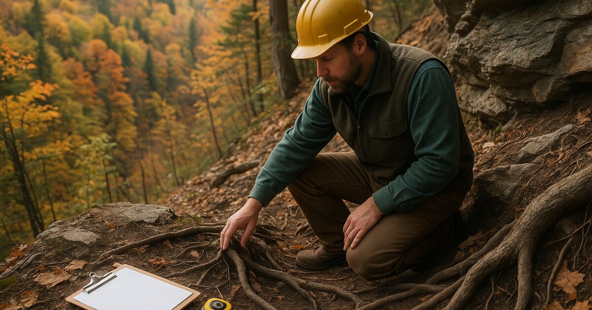
Your woodlot looks like forest. It has trees, it has canopy, and it has been sitting there producing wood for decades. Yet when a state forester walks it, or when your management plan comes up for review, you learn that part of your parcel may not qualify - or may be hard to keep - in Vermont's Current Use program. That is not a rare situation in Windham County, and understanding exactly why it happens is the first step toward doing something about it.
This post breaks down the three physical characteristics that create the most compliance headaches for landowners in towns like Jamaica, Marlboro, Halifax, and Windham: exposed ledge, steep slope, and inadequate timber stocking. None of these are automatic disqualifiers, but each one raises the bar for what you need to demonstrate - and what your forest management plan needs to say.
What Current Use actually requires of a forest parcel
Vermont's Use Value Appraisal program (Current Use) for forestland is governed by Title 32 V.S.A. Chapter 124 and administered by the Vermont Department of Taxes in coordination with the Department of Forests, Parks & Recreation (FPR). To qualify as forestland, a parcel must generally be at least 25 acres, be stocked with forest growth, and be managed under an approved forest management plan written by a licensed consulting forester.
The statute does not say the land has to be flat, perfectly stocked, or free of rocks. What it does say, through the implementing rules and FPR guidance, is that the land must be capable of producing wood products and must actually be managed toward that goal. The phrase "capable of producing wood products" is where ledge, slope, and stocking all enter the picture.
The Vermont FPR publishes forest management plan standards that set minimum expectations. A careful reading of those standards - and of the stocking guides used by Vermont foresters - explains why certain landscape features put a parcel in a harder position.
Ledge: when rock becomes a compliance question
Southern Vermont's geology is rugged. The Green Mountains drop into foothills across much of Windham County, and the bedrock is close to the surface across large portions of towns like Marlboro, Halifax, and Windham. Exposed ledge is simply part of the landscape.
For Current Use purposes, the question is not whether ledge exists but how much of the parcel it covers and whether the forested portions around it still function as productive forestland. A few outcrops surrounded by healthy sugar maple and yellow birch are not a problem. A parcel where 40 or 50 percent of the ground surface is bare or shallow-soiled ledge is a different matter, because it raises doubt about whether the land is genuinely capable of growing commercial timber at meaningful volume.
There are a few specific ways ledge can complicate enrollment or continued compliance:
- Stocking drops below threshold on ledgy ground. Trees cannot root deeply into solid rock. Shallow soils over ledge support sparse, slow-growing stands. When a timber cruise is run on a ledgy parcel, basal area and stocking figures come in low - often below the minimum stocking standards Vermont foresters apply. If you want to understand how to read those numbers, our post on reading a timber cruise report walks through the key figures in plain language.
- Ledge areas may need to be excluded from the enrolled acreage. FPR guidance allows - and in some cases requires - that non-productive areas be excluded from the calculation of qualifying forestland. If your parcel is 40 acres but 12 of those acres are essentially bare ledge, the enrollable area may be closer to 28 acres. If that drops you below the 25-acre minimum, you have a problem.
- Management prescriptions become harder to write. A management plan has to set realistic, achievable goals. Writing a credible plan that projects meaningful timber growth on soils too thin to support it puts the forester in an uncomfortable position and may not pass FPR review.
The practical takeaway is that before you enroll a ledgy parcel - or before you push back on a reviewer's concerns - you need an honest ground-truth assessment of what acreage is genuinely forested and capable. That is exactly the kind of evaluation a consulting forester's site visit is designed to provide.
Slope: steep ground is not disqualified, but it changes everything
Steep terrain is common across Windham County. Anyone who has walked woodlots in Grafton, Athens, or the hill towns above Newfane knows that "gently rolling" does not describe much of the landscape. Slopes of 25, 35, or even 50 percent are routine.
Slope itself does not disqualify land from Current Use. Vermont is a mountainous state and the program was designed with that reality in mind. But slope matters in two ways that directly affect compliance.
First, slope affects what harvesting methods are feasible - and therefore what management goals are credible. A forest management plan must prescribe management activities that can realistically be carried out. On very steep slopes, conventional cable or wheeled equipment may be dangerous or impossible to use economically. Steep-ground harvesting may require specialized equipment such as a tracked feller-buncher or a cable yarding system, both of which are less common in Vermont and significantly more expensive. If your plan calls for a selection harvest every 15 years but the terrain makes commercial logging economically unviable, a careful reviewer will ask whether the management goals are achievable. Vermont's Acceptable Management Practices for Maintaining Water Quality are understood to limit harvest operations on very steep slopes near streams, which can limit what prescriptions a forester can honestly write.
Second, slope can accelerate erosion in ways that threaten forest productivity. Under the AMPs, which are the state's primary framework for protecting water quality during forestry operations, loggers and landowners are required to take specific precautions on steep ground - water bars, broad-based dips, buffer zones along streams. These are not just environmental rules; they reflect the underlying reality that steep-slope forestry, done wrong, damages the soil base that makes the land productive in the first place.
For Current Use purposes, this means that a steep parcel requires a management plan that honestly grapples with those constraints. Prescriptions need to account for the added cost and complexity of steep-ground work, the AMP requirements, and the longer recovery periods that steep, thin-soiled sites may need after disturbance.
If you own land in Grafton or Athens and are considering enrollment, our earlier post on buying wooded land in Grafton or Athens covers several related questions worth reviewing before you commit.
Stocking standards: the numbers that determine qualifying forest
Of the three factors covered here, inadequate stocking is the one that most often surprises landowners, because low-stocked woodland can look like forest and feel like forest without actually meeting the program's threshold.
Stocking, in forestry terms, refers to the density of trees on a site relative to the site's productive capacity. Vermont foresters typically express stocking in terms of basal area - the cross-sectional area of tree stems measured at breast height, expressed in square feet per acre - and sometimes in terms of trees per acre by diameter class. The stocking guides developed by the U.S. Forest Service and referenced by Vermont FPR provide target ranges for different forest types.
For Current Use, the practical standard is that forestland should be at or above "B-stocking" on the stocking guides - a level that represents a reasonably full use of the site's growing capacity. Land that falls into the C-stocking range or below is understocked, meaning the site is not being used efficiently and may not be producing wood at a meaningful rate.
Common reasons for low stocking in Windham County woodlots include:
- High-grading in past harvests. When previous owners or loggers took only the best trees and left the rest, the residual stand is often understocked with quality, commercially valuable stems. This appears to be a common legacy problem in southern Vermont forests, based on local forester observations.
- Beech bark disease mortality. American beech, which is abundant across Windham County, has suffered serious mortality from beech bark disease. Dead and dying beech stands leave gaps in the canopy that reduce overall stocking figures. Our post on beech bark disease in Windham County covers the management implications in detail.
- Deer browse pressure. Heavy browse by white-tailed deer is commonly thought to suppress regeneration, which may leave understories too sparse to build toward adequate stocking over time.
- Recent catastrophic disturbance. Ice storm damage, wind events, or heavy insect mortality can drop stocking sharply in a short period.
Low stocking is not an automatic disqualification, but it does require your management plan to address it directly. The plan needs to explain why stocking is low, what silvicultural treatments are planned to improve it - timber stand improvement (TSI), planting, release cutting, or a combination - and over what timeframe you expect the stand to recover. A plan that ignores the stocking problem or treats a sparse, degraded stand as healthy productive forest is unlikely to hold up under review.
It is also worth understanding that a management plan is a living document. If conditions change - a wind event knocks down a large section, or disease opens a new gap - you may be required to amend your plan. Our post on when Vermont forest management plan amendments are mandatory explains the triggers and process.
How these three factors interact
Ledge, slope, and low stocking rarely appear in isolation. A steep parcel in Halifax or Windham is often also a ledgy parcel with shallow soils, and shallow soils produce lower stocking. The combination is challenging because each factor compounds the others. Thin soils over ledge on a 40-percent slope may support only scattered trees, making it genuinely difficult to demonstrate that the land is capable of producing wood products at a level the program is designed to support.
This is not a reason to give up on enrollment. It is a reason to get a realistic, honest assessment before you file - and to work with a forester who will write a plan that accurately describes the land rather than one that overpromises what the site can do. An honest plan that acknowledges constraints and sets achievable management goals is far more defensible than an optimistic one that ignores them.
What you can do before your next plan review
If you own land in Windham County and you are approaching a plan renewal, or if you are worried that a coming review may raise questions about your parcel, here are some concrete steps:
- Walk the parcel with a licensed consulting forester before the plan is written or renewed. Ask specifically about ledge exclusions, slope-related harvest constraints, and current stocking levels. Get numbers, not impressions.
- Request a timber cruise if one has not been done recently. You cannot defend a stocking claim you have not measured.
- Review your enrolled acreage against the actual productive forestland. If ledge or wetland has been included in the enrolled area and should not be, a voluntary correction now is far less painful than a compliance action later.
- Make sure your plan's prescriptions are achievable given the terrain. If your slope makes conventional logging uneconomical, say so - and propose management activities that are realistic for the site.
- Understand what the Land Use Change Tax would mean for your parcel if you were ever to withdraw. Our post on how the Land Use Change Tax is calculated explains the financial stakes in plain terms.
Our services page describes how we work with landowners across Windham County to develop management plans that are honest about site limitations, defensible under FPR review, and genuinely useful as a guide to improving your woodlot over time. If you have questions specific to your parcel, the FAQ is a good starting point, and you are always welcome to reach out directly.
The parcels that are hardest to keep in Current Use are not the ones with a few outcrops or a steep ridge. They are the ones where nobody has taken an honest look at what the land can actually do - and where the management plan reflects wishful thinking rather than the real woods. Getting that honest look is the most important thing you can do for your enrollment, your timber, and your land.
Sources & further reading
- Vermont Use Value Appraisal (Current Use) program overview (Vermont Department of Taxes)
- Stocking, normalcy, and measurement of stand density (U.S. Forest Service)
- Beech bark disease in the northeastern United States (U.S. Forest Service Northeastern Area)
Revision history (1)
- Sep 10, 2026 - Pre-publish editorial QA: clean; claim audit: 3 claims, 3 rewritten
Claim-by-claim audit (3 checked)
- “Heavy browse by white-tailed deer is commonly thought to suppress regeneration, which may leave understories too sparse to build toward adequate stocking over time.” (rewritten to what the article can stand behind)
- “Vermont's Acceptable Management Practices for Maintaining Water Quality are understood to limit harvest operations on very steep slopes near streams, which can limit what prescript…” (rewritten to what the article can stand behind)
- “This appears to be a common legacy problem in southern Vermont forests, based on local forester observations.” (rewritten to what the article can stand behind)
Talk to a forester
Tell us about the land
Town, rough acreage, and whether the parcel is already enrolled. If you are working to a filing deadline, say which one and we will tell you honestly whether it is achievable.